Murrumbidgee River System
Image: Steam Engine Swamp with fyke nets. Photo credit: Fleur Stelling
About the Area
The Murrumbidgee River System in southern NSW takes in the traditional lands of the Barapa Barapa, Bpangerang, Mutthi Mutthi, Nari Nari, Wamba Wamba, Wiradjuri and Yorta Yorta peoples.
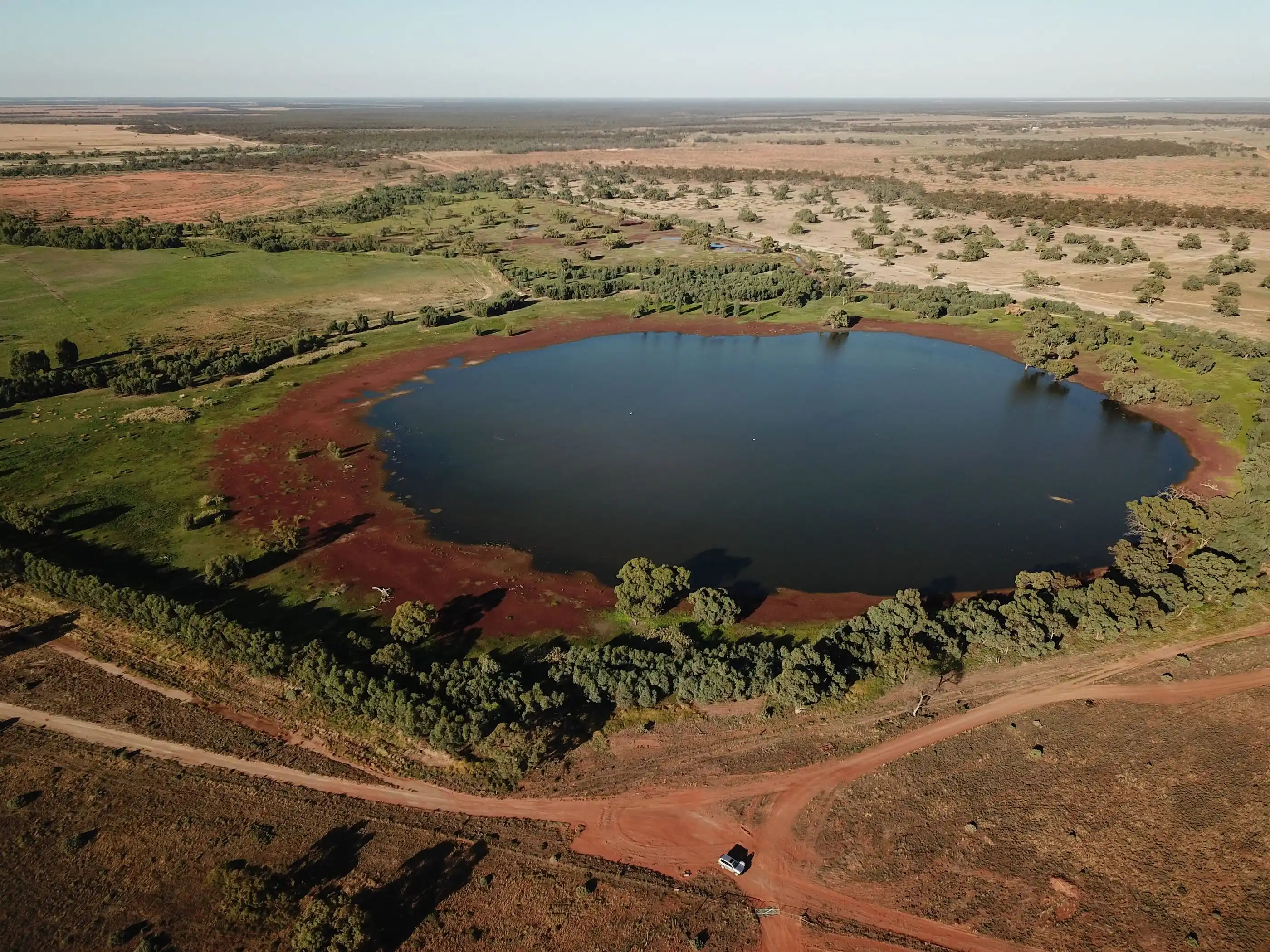
The Murrumbidgee is a lowland meandering river system with wetlands, lakes, swamps and creek lines. The Murrumbidgee is one of the largest river systems in the Murray-Darling Basin. Wetlands cover over 4 per cent (370,000 ha) of the Area, with over 1000 identified. Nationally important wetlands include the mid-Murrumbidgee and Lowbidgee floodplain, covering 2.5 per cent of the catchment area.
The Murrumbidgee River is also one the most regulated rivers in Australia, controlled by multiple major reservoirs including the Snowy Mountains Hydro-electric Scheme, the Australian Capital Territory (ACT) Water Supply Scheme, and in NSW, primarily by two large dams: Burrinjuck Dam on the Murrumbidgee River (1,026,000 ML capacity) and Blowering Dam on the Tumut River (part of the Snowy River scheme with 1,628,000 ML capacity).
Delivery of Commonwealth environmental water in this river system consists of base flows, small fresh (pulse flows), wetland connection flows, large fresh (pulse flows), bank-full flows, and floodplain connection flows.

Snipe Swamp. Photo credit: Fleur Stelling

Our Work
The Murrumbidgee Flow-MER project focuses on five basin themes: River Flows and Connectivity, Cultural Outcomes, Native Vegetation, Waterbirds and Native Fish. In addition to these themes, the Murrumbidgee project focuses on wetland fish, frogs, turtles and Australasian Bitterns. Monitoring is carried out in the following zones, and the information gathered is used to assess environmental water needs:
- The Lower Murrumbidgee (in-river flows)
- The Lower Murrumbidgee (Lowbidgee) floodplain
- The Mid-Murrumbidgee River wetlands, and
- The Yanco-Billabong Creek System.
Across the Basin

River Flows and Connectivity
We aim to find out how the flow regime and specifically water for the environment contributes to: connecting wetlands to their rivers and creeks, wetland depth and volume, and the wetting and drying of wetlands.

Waterbirds
Our aim with the Waterbirds monitoring is to find out how the flow regime and specifically water for the environment contributes to providing and supporting waterbird habitats, and the abundance and species diversity of waterbirds.

Cultural Outcomes
Through this theme we seek to engage First Nations people throughout the Murrumbidgee and explore how environmental water contributes to supporting cultural outcomes. Our approach involves consulting and listening, updating local First Nations groups on our activities and inviting participation, offering meaningful employment in our program (cultural advising and fieldwork), working alongside First Nations rangers, and organising various activities with First Nations groups according to their needs.

Native Vegetation
Our Native Vegetation monitoring aims to establish how water for the environment contributes to:
- Maintaining or improving representative populations and communities of non-woody vegetation.
- Maintaining or improving the condition of lignum shrublands.
- Maintaining representative native vegetation communities in the Murrumbidgee Area through the various flows.

Native Fish
Through this theme, we aim to find out how water for the environment, and the flow regime more generally, contributes to: the expansion of populations of native fish, the make-up of native fish populations, native fish abundance, and native fish condition.

Gayini Drone photo of Pelican Nesting in March 2022-23. Photo credit: M.Carnegie
%20(3).webp)
Area-scale Monitoring
We aim to find out what the flow regime and specifically water for the environment, including Commonwealth Environmental Water (CEW), contributes to: the provision of habitat for Southern bell frog and other frog species, the provision of habitats for tadpoles and small bodied native fish communities, turtle recruitment (juvenile turtles joining the population), the provision of habitat for Australasian Bitterns, and in the long term, turtle survival and maintenance of habitats that support threatened species.

Knowledge Exchange and Community Engagement
Our approach involves making Flow-MER knowledge available, accessible and relevant to local communities, and to involve them to improve Flow-MER activities, facilitate ownership and empower champions. Activities include regular social media postings, preparing articles for local media and the Flow-MER website, running citizen science activities, and holding field days relating to our monitoring techniques.
Research Projects
We will continue to develop research projects over the life of the program. Current research projects include; Engaging with wetlands through multi-modal (visual and audio) techniques (under the research theme ‘understanding socio-ecological perspectives’). The waterbird research is focused on understanding how waterbirds react to both water flow and other environmental factors. It aims to support better management practices and help us better assess how waterbird populations respond to CEW (under the research theme ‘understanding flow-ecology relationships’).
Potential research projects (all under the research theme ‘understanding flow-ecology relationships’) include: understanding how changes in water flow affect plant growth, which in turn impacts the ecosystem, biodiversity, and low-oxygen water events in floodplain forests; creating a model to predict how wetland plants will respond to changes in water levels, and determining how well Sentinel satellites can monitor these plant changes; studying how golden perch move within the landscape and how their population changes over time.
Key Insights
Inundation regime
We’ve learnt that inundation (extensive water across the landscape) is the key factor that shapes floodplain wetland ecosystems. It affects things like plant growth, nutrient and carbon cycling, the movement of animals, and their reproduction. Key aspects of the inundation regime that matter for the environment include how much water covers the area, how long it lasts, when it happens, the dry periods in between the wet periods, and how often floods occur.
.webp)
Southern Bell frog. Photo credit: Emmalie Sanders
How the river connects to its nearby wetlands (lateral connectivity)
We’ve learnt that higher rates of metabolism (how fast living things use energy) and production of new life (such as plants or animals) happen during times of very low water flow (such as in summer) or very high-water flow, which floods large areas of floodplains and wetland habitats. Reconnection flows may also help native plants re-populate wetlands.
Timing of watering actions
Our monitoring has shown that the environmental water flows in the Murrumbidgee create the right conditions for fish like silver perch and golden perch to spawn. We have also found that spawning is mainly influenced by water temperature, rather than by brief increases in river water levels.
Mode of delivery
Delivery modes include pumping into the wetlands or allowing water to spill over the riverbanks to fill nearby wetlands. We have found that for every megalitre of water used, pumping brings a lot of positive ecological results. However, these benefits are mostly limited to wetlands close to the river or irrigation watercourse and pumps, so only a few wetlands stay in good condition while others continue to decline. Despite this, our research has shown that if we allow a short dry period followed by immediate pumping, we can effectively remove a lot of adult common carp from a wetland, while still letting small native fish pass through the pumping system.
Habitat refuges
Habitat refuges include wetlands that remain permanently wet that enable wildlife such as turtles to survive. Through our monitoring we have identified important wetlands that serve as habitat refuges for turtles. Our research shows that the Eastern long-necked turtle can live in many different types of water habitats, while the Macquarie River and Broad-shelled turtles, which mostly live in rivers, are found in fewer places. These turtles need wetlands that flood which are near rivers. It's very important to keep these key wetlands healthy and make sure they have enough water to prevent them from drying out, so turtle populations can survive.
%20(2)%20(1).webp)
Macquarie River Turtle. Photo credit: Emmalie Sanders
Latest News
Annual reports, quarterly snapshots and implementation plans for the Murrumbidgee River System can be found on the Commonwealth Environmental Water Holder (CEWH) website.
News
%20(2)%20(1).webp)
.avif)
.avif)
Webinars


Our Team
Charles Sturt University has been engaged by the CEWH to conduct Flow-MER activities in the Murrumbidgee Area from July 2024 to June 2029.
Charles Sturt University
Partners
Murrumbidgee Landcare Inc

Yanco Creek and Tributaries Advisory Council

Nari Nari Tribal Council