Gwydir River System
Image: Pelican flying into Waterbird Lagoon, Gwydir (Guwayda) Wetlands State Conservation Area (Dec. 2024). Credit: University of New England
About the Area
The Gwydir (Guwayda) River System extends from the Great Dividing Range, west to the Barwon River flowing through the traditional lands of the Gomeroi, Gamilaroi, Kamilaroi and Gamilaraay Peoples in northern NSW .
Downstream of Moree, the system fans out into a broad alluvial floodplain with an extensive network of water courses, floodplains and wetlands. The water courses of the Gwydir (Guwayda) System are important for native fish populations and connect to valuable wetland and floodplain habitats, some of which are Ramsar listed. The floodplains and wetlands are internationally recognised as breeding and stopover grounds for local and migratory waterbirds.
The natural hydrology of the Gwydir (Guwayda) River has been substantially altered through human intervention (dams, weirs, floodplain structures, extraction etc.), impacting ecosystem function and river health. Commonwealth and NSW state water for the environment are cooperatively managed and delivered to reaches downstream of Copeton Dam in a bid to restore and maintain health, and to support biodiversity.
.webp)
Aerial image of the Gingham Waterhole, Gwydir (Guwayda) Wetlands State Conservation Area (Dec. 2024). Credit: University of New England

.webp)
Gwydir (Guwayda) River at Pallamallawa, NSW (Dec. 2024). Credit: University of New England
.webp)
Gingham Waterhole, Gwydir (Guwayda) Wetlands State Conservation Area (Dec. 2024). Credit: University of New England
Our Work
Learn about the key activities in this Area.

River Flows and Connectivity
The River Flows and Connectivity Theme maps the extent of connectivity along rivers in the Gwydir (Guwayda) River System and the connectedness of rivers with their floodplains and wetlands. This is done using a combination of multi-temporal satellite imagery, wetland extent mapping, gauged inflows, field verification and depth logger information.
.webp)

Native Fish
The Native Fish Theme uses individual fish and community measures to understand the response of native fish in the Gwydir (Guwayda) River System to water for the environment. Monitoring occurs annually, and in response to watering events when they occur, to track trends in community diversity and abundance through collection of weight, length, age and condition data.


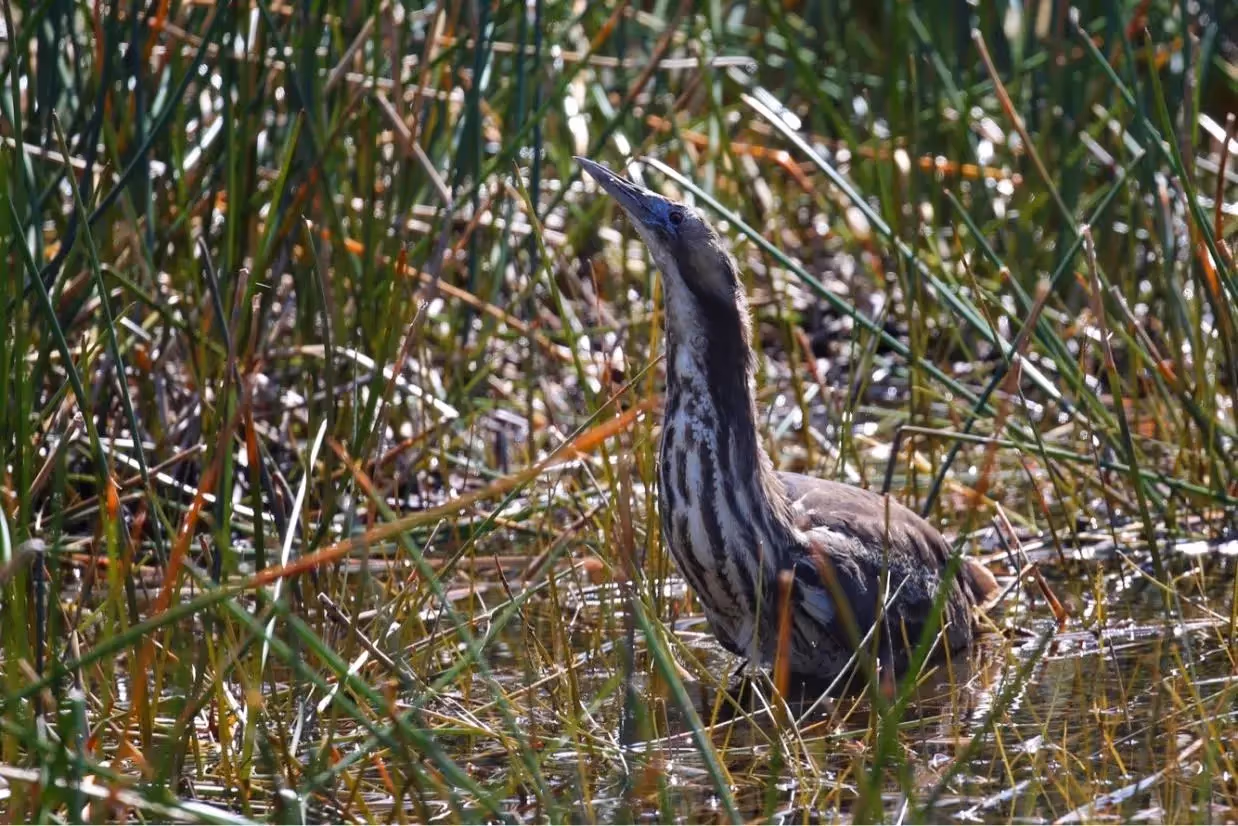
Waterbirds
The Gwydir (Guwayda) River System is renowned for its waterbird abundance and diversity, and wetlands in the Area are recognised under international conservation agreements. Waterbird monitoring is done annually to assess the abundance and diversity of waterbird communities in the Gwydir (Guwayda). When conditions are right to trigger large-scale breeding, event-based monitoring is also undertaken.


Native Vegetation
The vegetation communities of the wetlands and floodplains in the Gwydir (Guwayda) River System are recognised as valuable ecological assets that support landscape-scale biodiversity. Riverine vegetation communities provide breeding habitat, food and shelter for water-dependent species and are integral to overall ecosystem function. Native vegetation monitoring assesses vegetation diversity responses to inundation via annual surveys across a diverse range of plant community types.
.webp)

Cultural Outcomes and First Nations activities
With the guidance of our Cultural Advisor we will initially focus on engaging with First Nations people with connection to the Guwayda (Gwydir) Area. We will understand how First Nations people want to be involved in the Flow MER Program and how the Program can benefit from their knowledge and science. We will work with First Nations people to identify cultural outcomes specific to their community and Country and how First Nations activities through the Program can support cultural outcomes.
_Tamara%20Kermode.avif)

Knowledge Exchange and Community Engagement
Our Knowledge Exchange and Community Engagement strategy aims to improve understanding, decision-making and environmental outcomes through a knowledge generation and sharing network based on trust, collaboration and meaningful relationships across the scientific community, government, stakeholders and local community. Communication and engagement are facilitated by meetings, presentations, workshops, forums, scientific papers, community news and storytelling, field days, citizen science events, websites and social media content.

Key Insights
River Flows and Connectivity
- During 2023-24, connectivity was improved with the delivery of water for the environment in most channels within the Gwydir (Guwayda) River System, especially in Carole Creek, Gingham Watercourse and Mallowa Creek.
- This water maintained a range of in-channel, wetland and floodplain habitats in an otherwise dry year, and improved water quality in all channels surveyed.
Native Fish
- Native fish populations remain in poor condition in the Gwydir (Guwayda) System. Even after several years of improved flow, overall fish community condition continues to decline.
- While larval fish sampling detected a small number of Murray cod larvae in the Gwydir (Guwayda) and Mehi Rivers in 2023-24 sampling, no widespread recruitment of this or any native fish species has been observed during the last several years.
- While there is still a reasonable diversity of species present, all were in low numbers with limited recruitment noted during sampling.
- Current flows through the system appear to be maintaining fish populations, but the abundance of some species may be too low to allow them to successfully recruit to improve their status and condition.
Waterbirds
- While waterbird numbers were lower than the previous years, the lower Gwydir (Guwayda) still supported a range of species including several migratory and listed species in 2023-24.
- Inundation along Mallowa Creek produced a positive response in waterbirds with larger flocks noted here during targeted summer surveys.
Native Vegetation
- Water for the environment delivery over the 2023-24 water year has maintained key native species such as river cooba, lignum and common nardoo, especially in the Mallowa System that relies on managed water deliveries.
Latest News
Annual reports, quarterly snapshots and implementation plans for the Gwydir River System can be found on the Commonwealth Environmental Water Holder (CEWH) website.
News


Webinars
.avif)


Our Team
The University of New England has been engaged by the CEWH to conduct Flow-MER activities in the Gwydir River System from July 2024 to June 2029.
University of New England

Partners

2Rog
NSW Government