Macquarie River and Marshes
Image: A stand of typha (middle left) and river red gum (Eucalyptus camaldulensis) by the water's edge at Burrima Boardwalk in the Macquarie Marshes, October 2024. Photo credit: Harro for UNSW
About the Area
The Macquarie River and Marshes Area contains critical wetland and river assets, including the Macquarie Marshes, one of the largest and most important Murray–Darling Basin wetlands. The Marshes extend over 200,000 hectares, 19,000 hectares of which are Ramsar-listed.
The Area extends downstream of Lake Burrendong, where it joins the Barwon–Darling River System. It includes the mainstem Wambuul/Macquarie River including all creeks and rivers through the Macquarie Marshes and adjacent wetlands and floodplain.
The Macquarie catchment is on the traditional lands of the Gomeroi/Kamilaroi, Ngemba, Ngiyampaa, Wiradjuri and Wayilwan people. Occupants for thousands of years, the catchment provides Aboriginal People with a rich source of food and other resources.
The system relies on natural flooding and water from various sources including environmental water. Much of the Macquarie River flow is maintained by Burrendong and Windamere dam releases.
.webp)
Clumps of chenopods (Chenopodium) in the water at Macquarie Marshes, October 2024. Photo credit: Harro for UNSW


Ghinghet wetland on private property in the Macquarie Marshes, October 2024. Photo credit: Harro for UNSW
The marshes include flood-dependent vegetation critical in supporting large waterbird breeding and are an important site for the endangered Australian painted snipe and threatened Australasian bittern.
The Macquarie River supports 24 native fish species, including threatened species.
The marshes, which is made up of freshwater channels, small lagoons and streams, with seasonal and ephemeral swamps and floodplains, includes the Macquarie Marshes Nature Reserve. Much of the remaining area - some Ramsar-listed – is owned and managed by private landholders predominantly engaged in livestock production.
The Commonwealth Environmental Water Holder and NSW environmental water managers work collaboratively with the Macquarie-Cudgegong Environmental Water Advisory Group (EWAG) to plan and manage environmental water in the Macquarie.
Our Work
Learn about the key activities taking place in this Area.

Native Vegetation
Our Native Vegetation studies aim to understand how water for the environment contributes to water-dependent vegetation communities by maintaining and/or improving diverse vegetation; the extent and condition of woody and non-woody vegetation; and the condition of lignum shrublands. Study methods include field quadrats and transects, satellite imagery and some drone imagery.

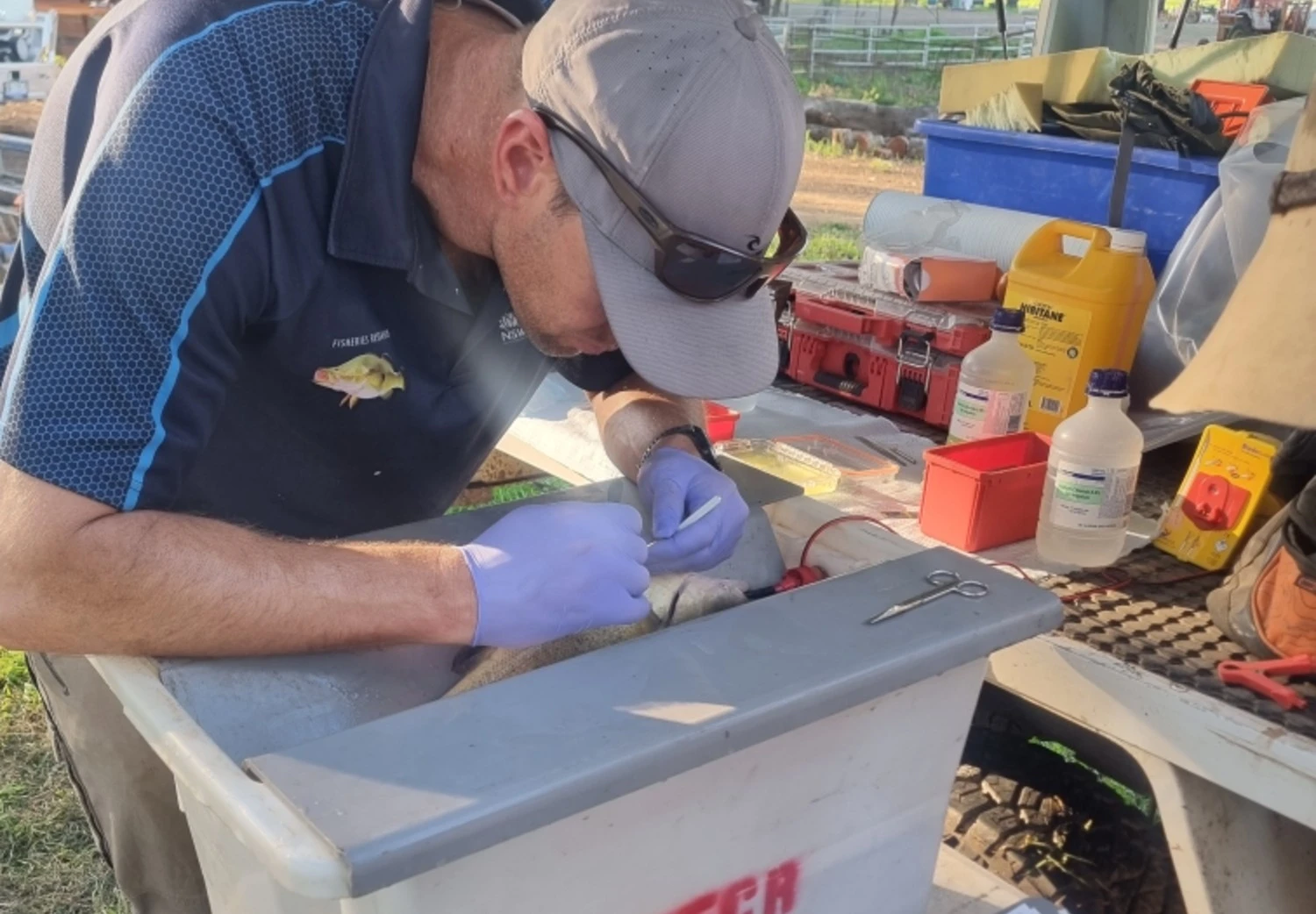
Native Fish
The Native Fish work aims to understand how water for the environment contributes to population structure, abundance, diversity, recruitment and condition. Sampling will be conducted annually in Autumn at 20 sample sites along the Wambuul/Macquarie River and Marshes.

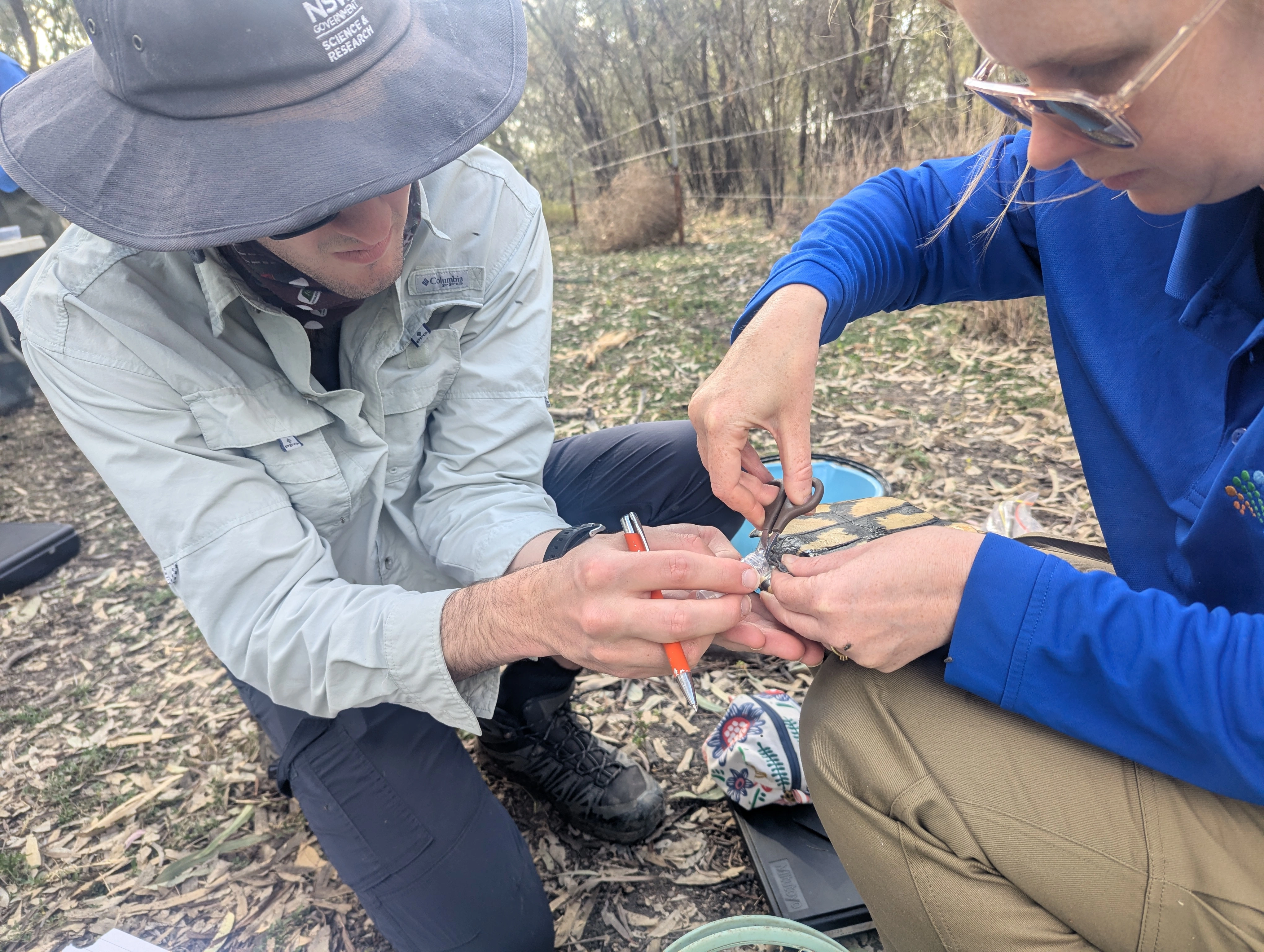
Waterbirds
Our Waterbirds studies aim to understand how water for the environment contributes to abundance, species diversity, breeding occurrences, and providing and supporting habitats.
The team will undertake four sets of repeat ground-based field surveys at 10 sites and annual Spring aerial and ground surveys. Acoustic recorders will monitor the presence of waterbird species outside of specific surveys. This first year will focus on the field surveys and install water depth loggers and acoustic recorders.

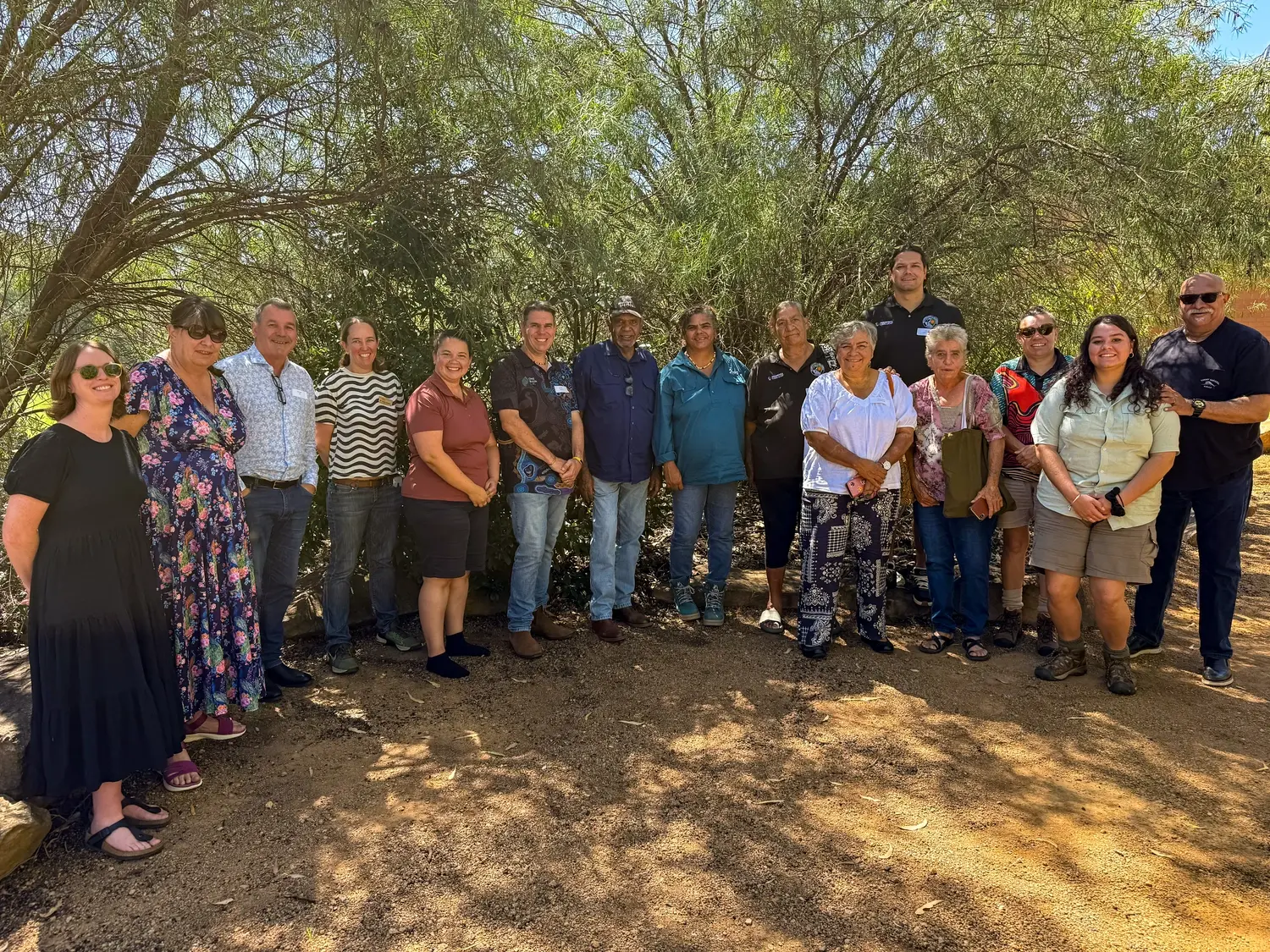
Cultural Outcomes
The Wayilwan people led by Danielle Flakelar, are the cultural advisors for the Macquarie River and Marshes Flow-MER Program. They will support relationship building between Aboriginal People with connection to Country.
In working together, we will support the protection of Indigenous Cultural and Intellectual Property (ICIP) and Indigenous Data Sovereignty rights as appropriate for the Aboriginal People we work with.

River Flows and Connectivity
Our River Flows and Connectivity studies aim to understand how water for the environment influences flows, hydrological connectivity, and biotic indicators (e.g. waterbirds and fish).
%20-%20landscape%20.avif)
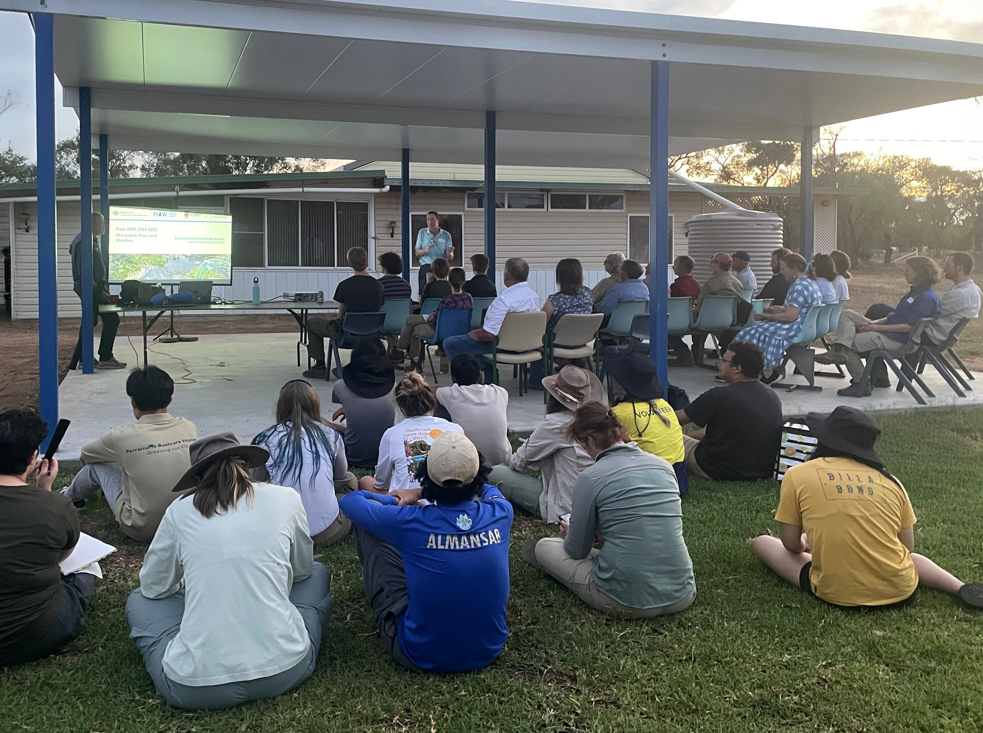
Latest News
Annual reports, quarterly snapshots and implementation plans for the Macquarie River and Marshes can be found on the Commonwealth Environmental Water Holder (CEWH) website.
News

.avif)
Webinars
Our Team
The University of New South Wales (UNSW) Centre for Ecosystem Science has been engaged by the CEWH to conduct Flow-MER activities in the Macquarie River and Marshes Area from July 2024 to June 2029.
University of New South Wales
Partners
NSW Department of Climate Change, Energy, the Environment and Water
Department of Primary Industries and Regional Development
Wayilwan