We use monitoring, evaluation and research to assess environmental outcomes and inform adaptive management, using the below indicators that reflect the health of the Basin.
Read more about our Evaluation and Research work here
River Flows and Connectivity
Native Vegetation
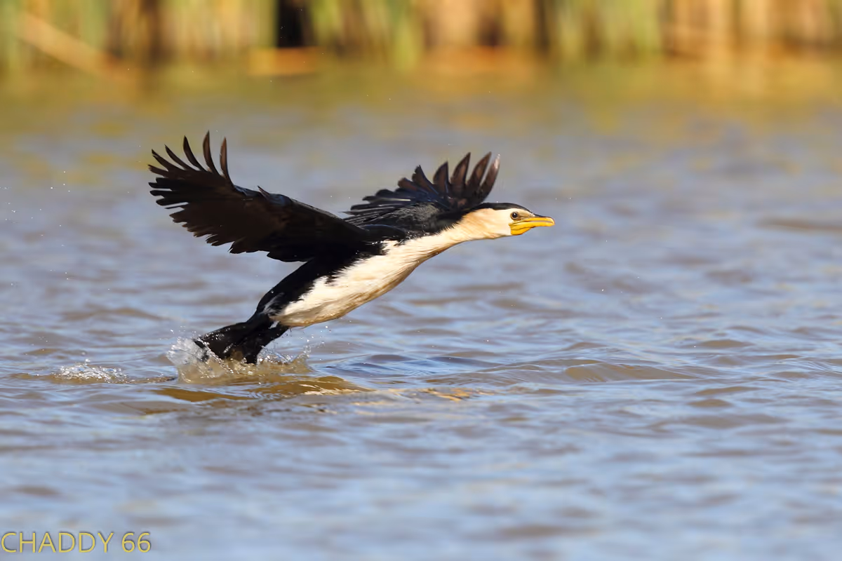
Waterbirds
Native Fish
Cultural Outcomes
Species Diversity
Ecosystem Diversity
Food Webs and Water Quality
We work along 10 river systems within the Basin, conducting targeted monitoring and research to understand local ecosystem responses and inform water management practices. The data is also used to help inform Basin Evaluation.
Border, Barwon & Namoi
Darling and Warrego
Goulburn River and Northern Victorian Tributaries
Gwydir
Lachlan
Lower Balonne
Lower Murray and Coorong, Lower Lakes, and Murray Mouth
Macquarie River and Marshes
Mid-Murray
Murrumbidgee
Learn more about the current research projects of the Flow-MER Program.
Wilbertroy Lagoon and Evergreen Wetland are vital to the Lachlan system. Through a partnership between the CEWH, Jemalong Irrigation Limited and local landholders, environmental water was delivered – producing significant ecological and social benefits.
The Gwydir Wetlands is a floodplain ecosystem of international importance, areas of which are listed under the Ramsar Convention. The wetlands support threatened and vulnerable plant and animal species and ecological communities.
Beautiful as it is rugged, the Western Floodplain of the Warrego (Warriku) River to its junction with the Darling (Baaka) River west of Bourke, covers over 10,000 hectares and boasts an amazing collection of habitats.