.jpg)
Better ways to measure environmental outcomes
Floodplain vegetation is a key indicator of healthy rivers and wetlands. It provides habitat for wildlife, supports ecosystem processes, and responds to changes in water availability. Consequently, measuring changes in floodplain vegetation is a useful part of evaluating the outcomes of Commonwealth environmental watering actions.
But monitoring vegetation across large floodplains is not a simple task, as most sites are difficult to access, especially during or after floods. Additionally, field-based vegetation surveys are often labour intensive, requiring substantial time, personnel and financial resources.
A new study published in Ecological Indicators shows how drones can help solve these challenges. The research presents a new method that combines drone imagery and LiDAR data to measure vegetation condition, cover, height and structure across large floodplain areas. LiDAR, which stands for Light Detection and Ranging, is a technology that uses laser pulses to measure the height and shape of vegetation and other landscape features, creating detailed 3D maps of the environment.
.jpg)
The approach builds on ideas first developed through Flow-MER and demonstrates how this method can support vegetation monitoring at broader scales.
Building on Flow-MER research
The study has its roots in earlier Flow-MER work in the Lachlan River system. Researchers used drones to monitor how reeds responded to water for the environment and later adapted these techniques to assess the condition of lignum, an important native shrub that grows on many Murray–Darling floodplains.
That early work demonstrated the potential of drones for monitoring vegetation responses to watering events. Researchers from the University of Canberra later built on these ideas to develop a new method for monitoring and evaluating woody floodplain vegetation, primarily focused on lignum shrublands. This work was funded through the Murray–Darling Basin Authority’s The Living Murray program and delivered in partnership with the Mallee Catchment Management Authority.
Today, this method is being used across 5 Flow-MER Areas and contributes to our Basin-scale evaluation.
What makes this approach different?
The new method combines 2 types of information collected by drones.
LiDAR measures the height and shape of vegetation to create a 3D model of vegetation structure. Standard drone imagery captures information about colour and greenness. When combined, these datasets provide a much clearer picture of vegetation condition than either could alone.
The approach can identify:
- vigorous and dormant lignum
- tree canopies
- tree stems and branches
- ground cover and litter.
It can also estimate:
- vegetation cover
- canopy openness
- patch openness
- vegetation height.
Many of these measures have traditionally required field surveys.
Accurate results without the complexity
Many modern image-analysis methods rely on artificial intelligence and deep machine learning. While powerful, these tools can be difficult to understand and apply. Researchers often describe them as ‘black-box’ methods, because it can be hard to see how they reach a result.
The new approach was designed to be simpler and easier to interpret. Instead of relying entirely on complex machine-learning models, it combines ecological knowledge with well-understood image-processing techniques.
This simpler approach still gives highly accurate results. The method achieved an overall accuracy of 92 per cent and correctly identified shrubs and trees more than 95 per cent of the time. It also produced results that closely matched those from more complex deep-learning models.
What did the study find?
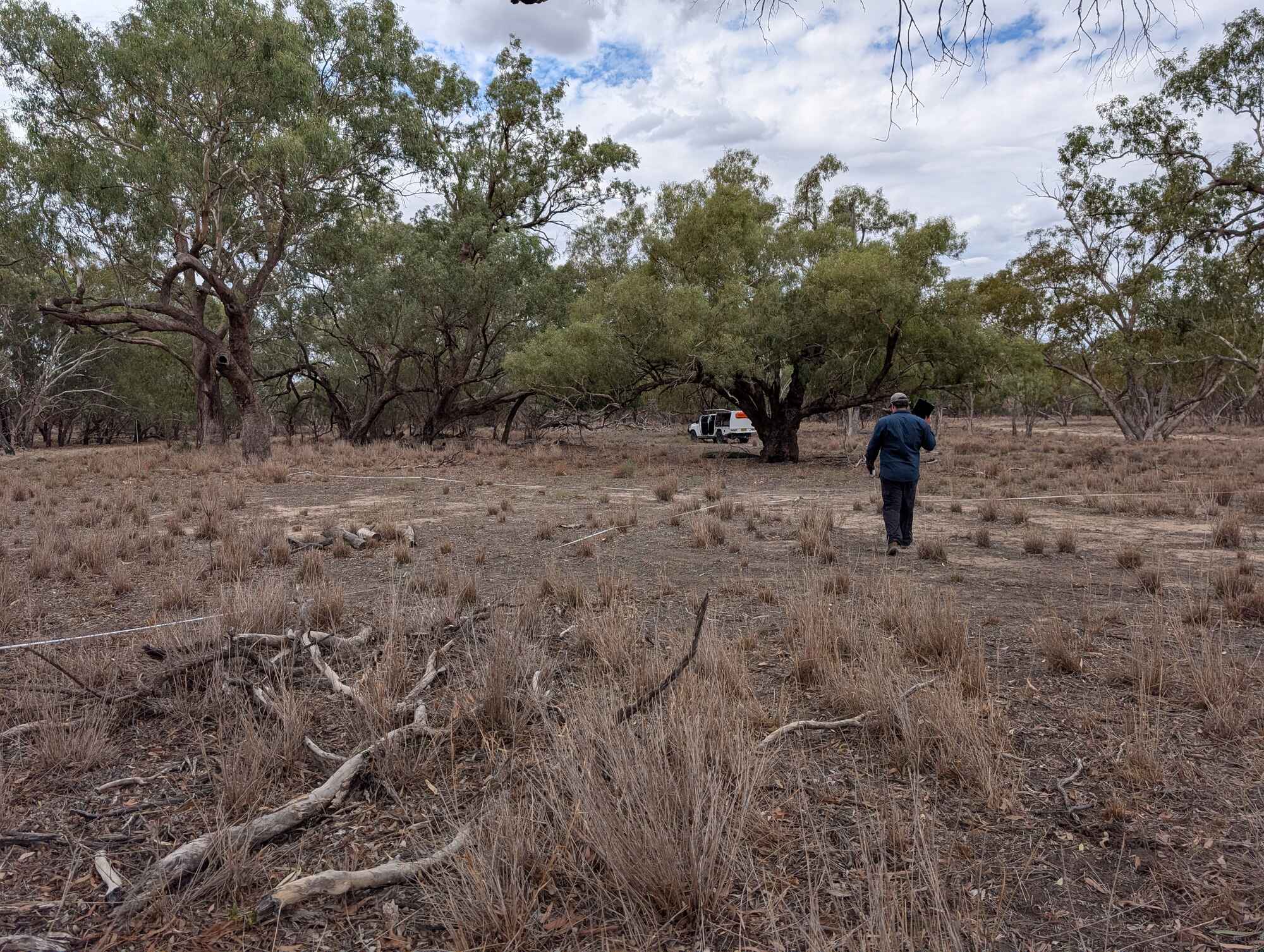
Researchers tested the method across 17 sites in the Mallee region that had experienced different flooding histories over the previous 15 years. Some had flooded only once, while others had flooded more regularly.
The results showed clear links between vegetation condition and flooding history.
Sites that flooded more often generally supported greater cover of lignum and higher levels of vigorous growth. Vegetation at these sites also tended to have denser canopies and fewer gaps.
The study also showed that lignum and trees respond differently to water availability. Lignum mainly responded through changes in condition, shifting between vigorous and dormant states. Trees showed longer-term changes in structure, such as differences in canopy development and height.
These findings help explain how different vegetation types respond to wet and dry periods and demonstrate the value of collecting several indicators rather than relying on a single measure.
Supporting Basin-scale evaluation
The significance of this research extends beyond the development of a new monitoring tool.
The study shows how investment in method development can deliver benefits well beyond the original project. The techniques developed through Flow-MER are now helping researchers and water managers measure vegetation responses in a consistent and repeatable way across larger areas.
As environmental-water programs continue to mature, there will be an increasing need for monitoring methods that are reliable, practical and easy to apply. This research demonstrates how Flow-MER is helping meet that need by developing tools that support better evaluation and better decision making.
The study also highlights a broader strength of Flow-MER. By investing in new methods and ideas, the program is not only generating scientific knowledge but also creating tools that others can use, adapt and apply across the Murray–Darling Basin.