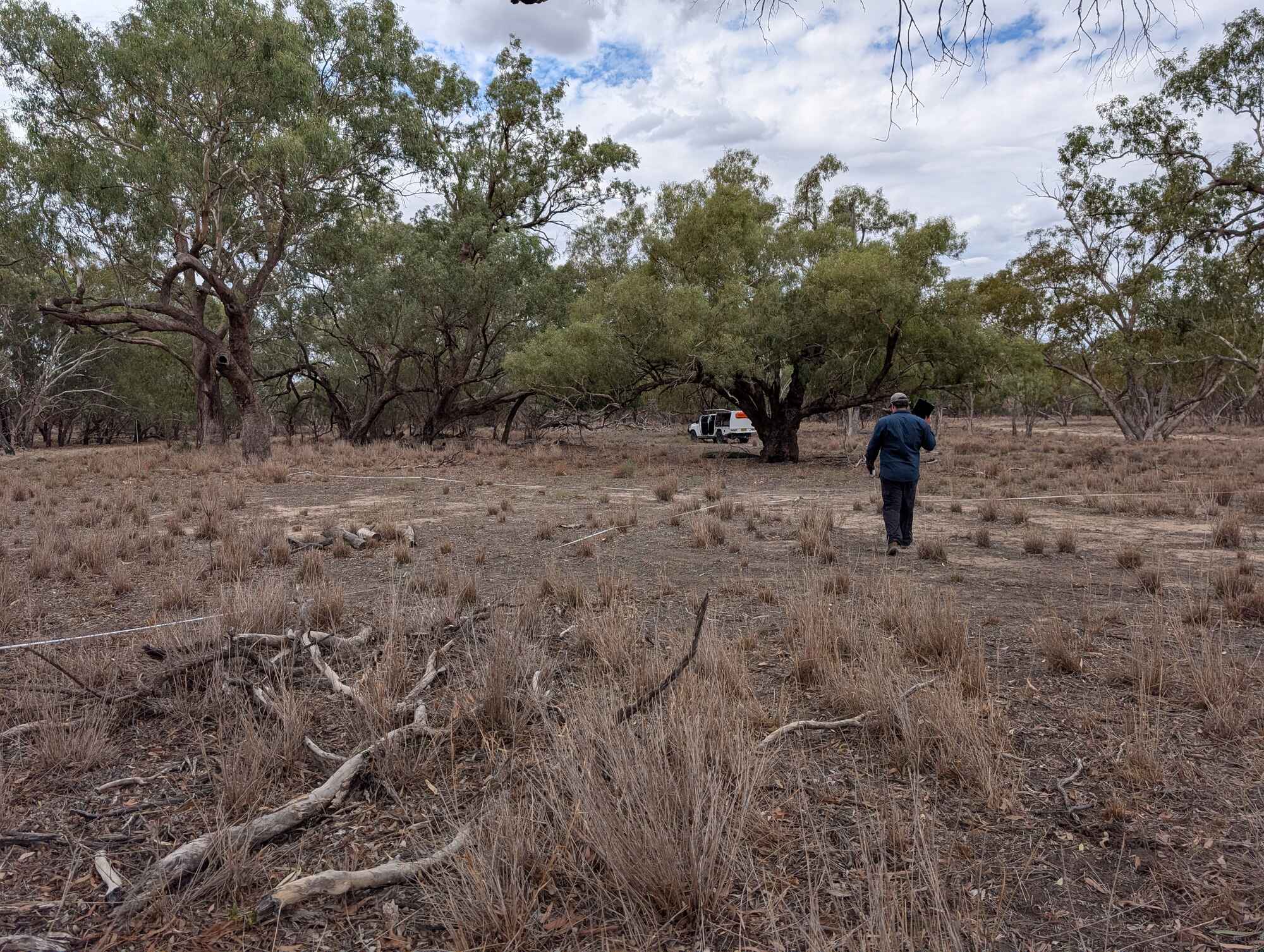
In late March and early April, the NSW Department of Climate Change, Energy, the Environment and Water (NSW DCCEEW), working with the University of New South Wales (UNSW), carried out the annual autumn survey of wetland vegetation in the Macquarie Marshes.
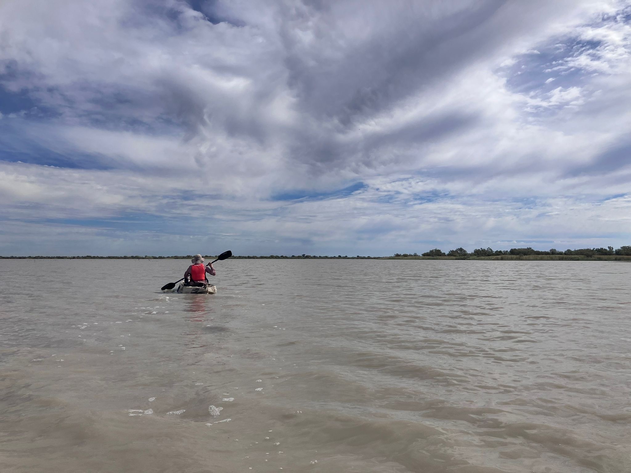
Most of the Marshes were dry at the time. Only seven out of the 73 monitored sites had water. The few wet sites were mainly found in sedgeland and water couch areas. Most areas with river red gum (Eucalyptus camaldulensis), river cooba (Acacia stenophylla), and coolibah (Eucalyptus coolabah) tree sites were dry.
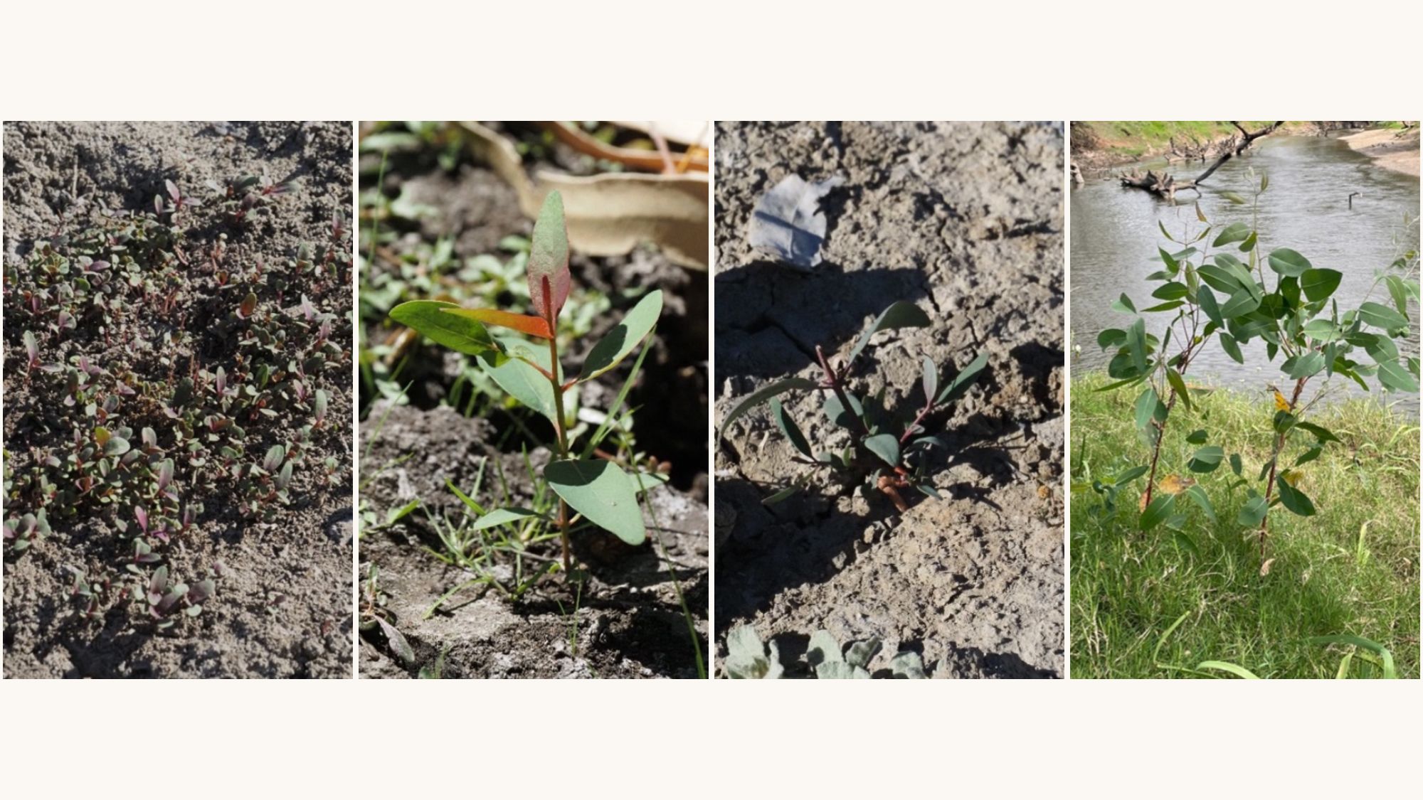
Even though it was mostly dry, there was still a wide variety of plants. The groundcover included many native plants that depend on flooding, species such as tussock rush (Juncus aridicola), slender knotweed (Persicaria decipiens), flat spike-sedge (Eleocharis plana), and budda pea (Aeschynomene indica).
There were also native terrestrial (land) plants such as ruby saltbush (Enchylaena tomentosa), lesser joyweed (Alternanthera denticulata), crumbweed (Dysphania pumilio), wireweed (Polygonum aviculare), and hairy carpet-weed (Glinus lotoides).
Only two sites were mainly covered by non-native plants, including wild aster (Aster subulatus), spear thistle (Cirsium vulgare), and lippia (Phyla canescens).
In total, 118 different plant species were recorded across the 73 sites. The most common plants were river red gum, water couch (Paspalum distichum), common couch (Cynodon dactylon), tussock rush (Juncus aridicola), coolibah, rat's tail couch (Sporobolus mitchellii), and water primrose (Ludwigia peploides). The highest number of different plant species was found in the nature reserve and two private properties, likely because more plots were surveyed in these areas.
The team will now study this year’s data together with last year’s results, as well as satellite imagery and drone images. Tracking changes over time supports better water management decisions and helps protect the health of these important wetlands.
.avif)