81 fish: Golden perch have been tagged in the Lowbidgee wetlands and creeks as part of a new tracking study.
26 stations: Underwater listening stations have been set up at key locations across the floodplain and river.
2-4 years: Each tag will transmit a signal for up to four years, giving researchers long-term movement data.
What is this project about?
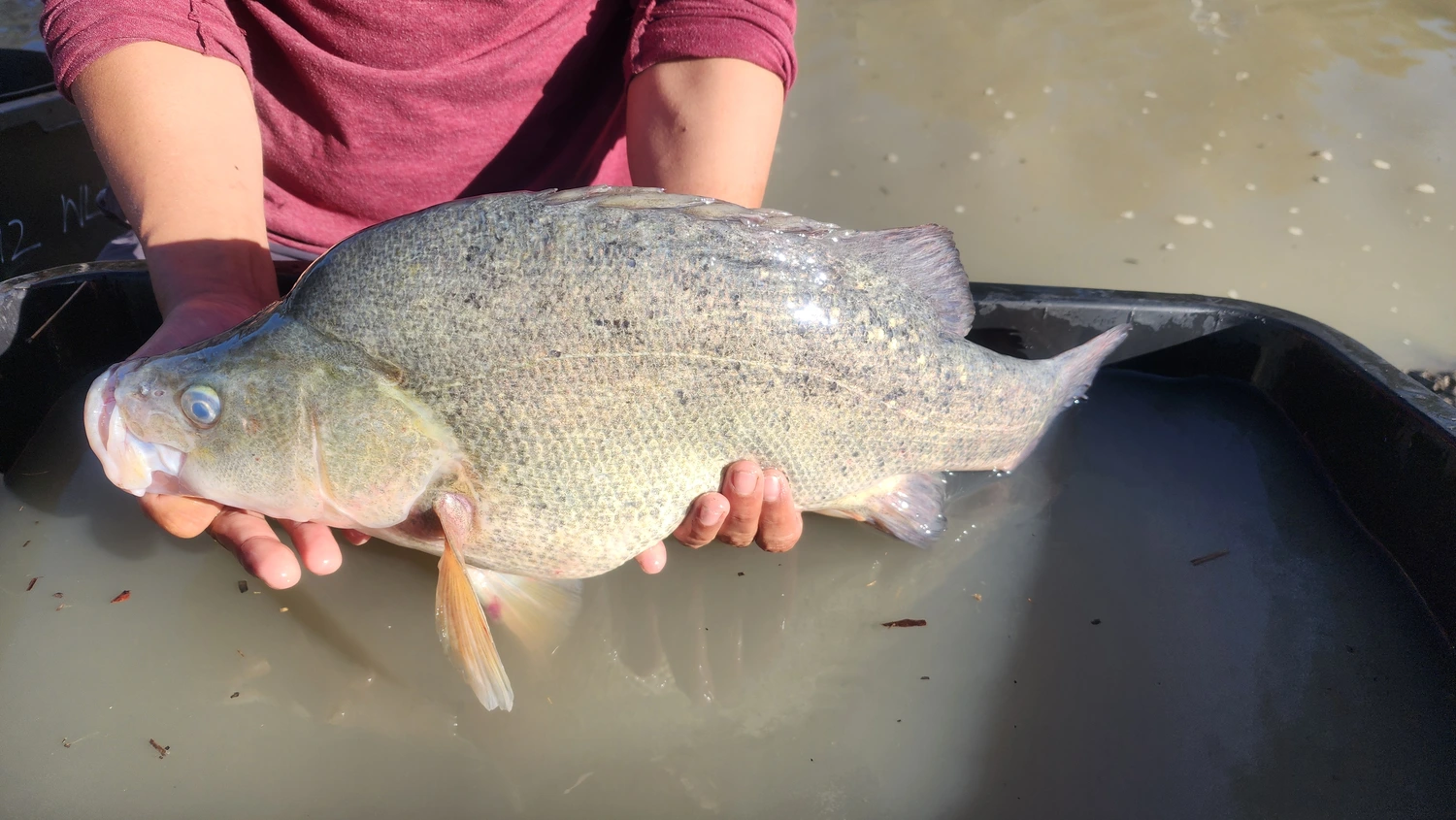
Golden perch are native freshwater fish found throughout the Murray–Darling Basin. They are considered a sign of a healthy river system — when golden perch populations are thriving, it usually means the river and its floodplains are in good shape.
In the Lower Murrumbidgee (also known as the Lowbidgee), golden perch numbers are much lower than they should be and vary a lot from year to year. To understand why, researchers have started tagging fish with small electronic trackers to follow their movements through the wetlands, creeks, and river channels.
The information gathered will help guide how environmental water — water released specifically to support nature — is managed in the region, so it delivers the greatest benefit for fish and other wildlife.
How are fish tagged?
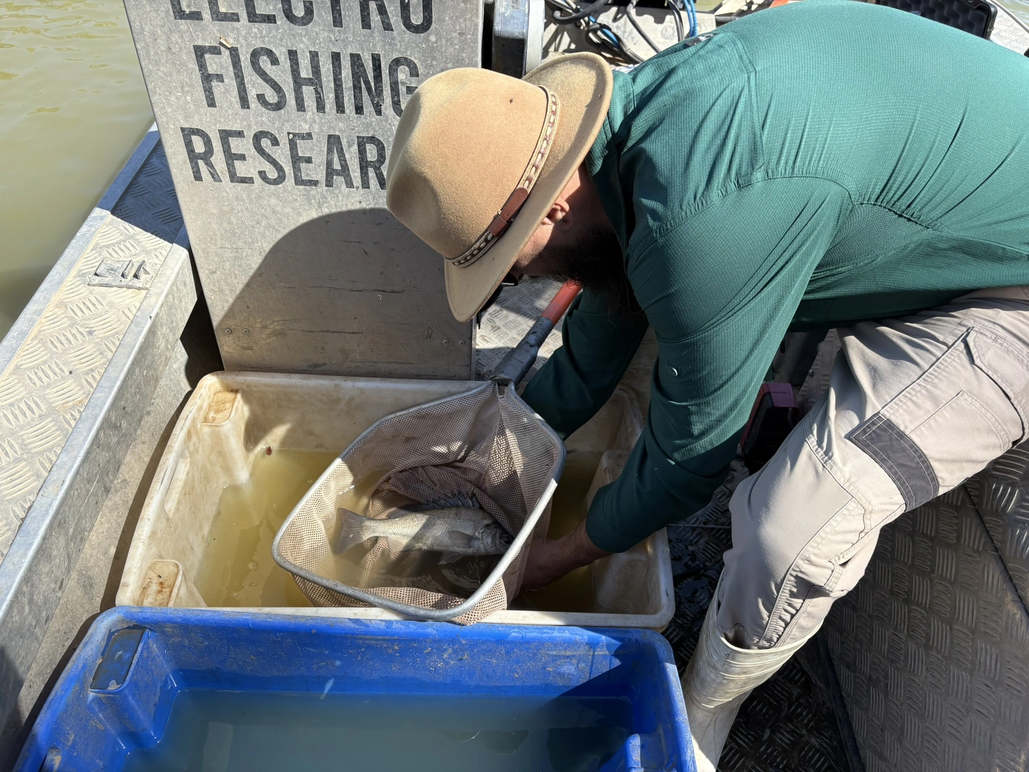
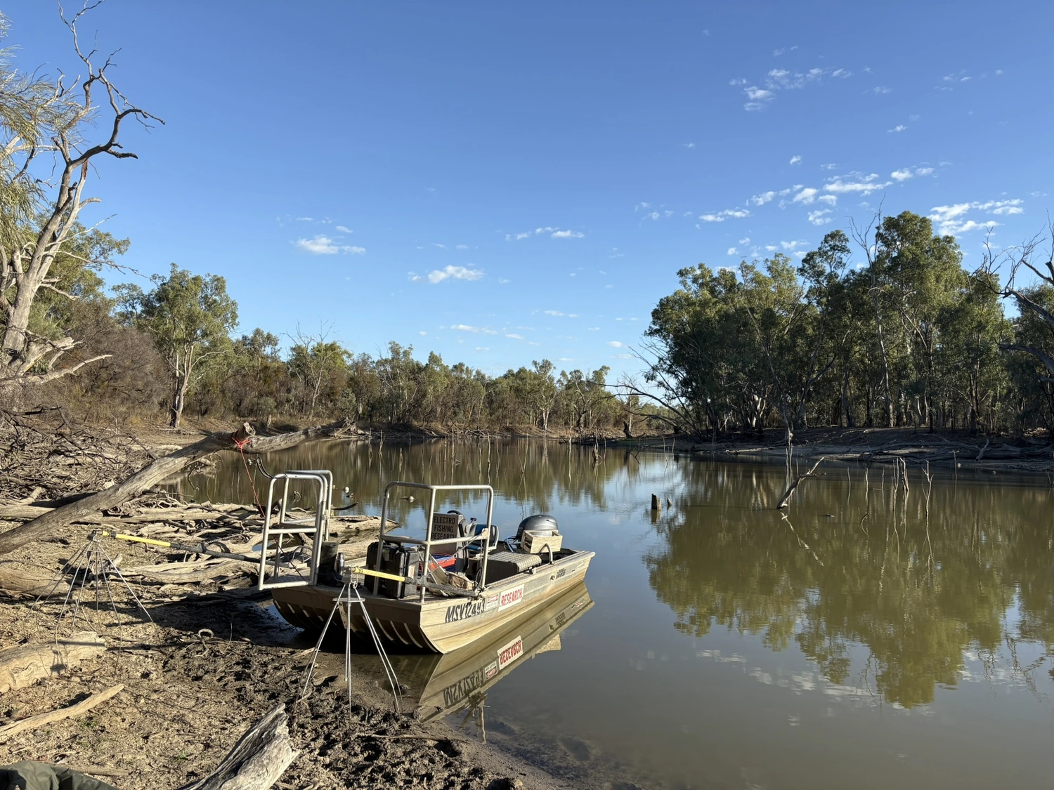
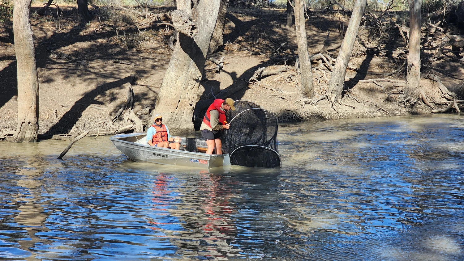
Fish are caught using two methods: electrofishing boats (which briefly stun fish so they can be safely collected) or fyke nets. Each fish is then brought to a temporary surgery set up on the riverbank, where it is:
- Anaesthetised so it does not feel any discomfort
- Weighed and measured
- Given a small acoustic tag implanted just under the skin through a tiny cut
- Stitched up and monitored while it recovers
- Released back at the same spot, the same day
The whole process takes about five minutes. Two tag sizes are used — a smaller one that transmits for two years and a larger one for four years.
How does the tracking work?
Once tagged, each fish sends out a unique acoustic (sound) signal through the water. A network of 26 underwater listening stations, placed at important locations across the Lowbidgee, picks up these signals whenever a tagged fish swims nearby.
These stations sit alongside an existing network run through the Murray–Darling Basin Authority in partnership with South Australia, Victoria, New South Wales, and Queensland, making this a truly collaborative, basin-wide effort.
Adult and juvenile fish have been tagged in Yanga Lake, Tala Lake, Talpee Creek, and Tala Creek — wetland areas that serve as vital nursery habitats for young golden perch.
Why do golden perch need flowing water?
Golden perch depend on flowing water to complete their life cycle. They migrate long distances within freshwater, moving between the main river and flooded wetlands to spawn (breed) and raise young.
Over many decades, dams, weirs, water diversions, and other infrastructure have altered water flows across the Murray–Darling Basin. These changes are thought to have made it harder for golden perch to migrate, spawn, and grow their populations.
Environmental water — managed releases of water from storages — can help restore some of these natural flows, but researchers need to know exactly when, where and how much water is needed to be most effective.
What are researchers testing?
The study is exploring three possible explanations for how golden perch behave and move in the Lowbidgee:
- Flow Connect: Fish move freely between the river and flooded wetlands when connected by high flows. This is closest to how the system would work without regulation and likely supports the most breeding — but is hard to achieve in a managed river.
- River Drift: Fish mainly live in the main river channel and are triggered to spawn by pulses of flow. Their eggs and larvae drift onto the floodplain, which acts as a nursery. Young fish then return to the river when water reconnects.
- Floodplain Spawn: A largely self-contained population lives year-round in the permanent creeks of the floodplain. Environmental water triggers movement and spawning within these creeks, with larvae drifting into nearby nursery habitats.
The tracking data will reveal which of these patterns — or which combination — actually applies to the Lowbidgee’s golden perch population.
What happens next?
Data from the listening stations will be downloaded and analysed repeatedly every one to two years. The Murrumbidgee Flow-MER team will use the results to map where fish are moving, how far they travel, and which habitats are most important at different times of year.
This knowledge will directly inform decisions about when and where to release environmental water in the Lowbidgee — giving golden perch and the broader floodplain ecosystem the best chance to recover and thrive.


.webp)