Native Vegetation
News

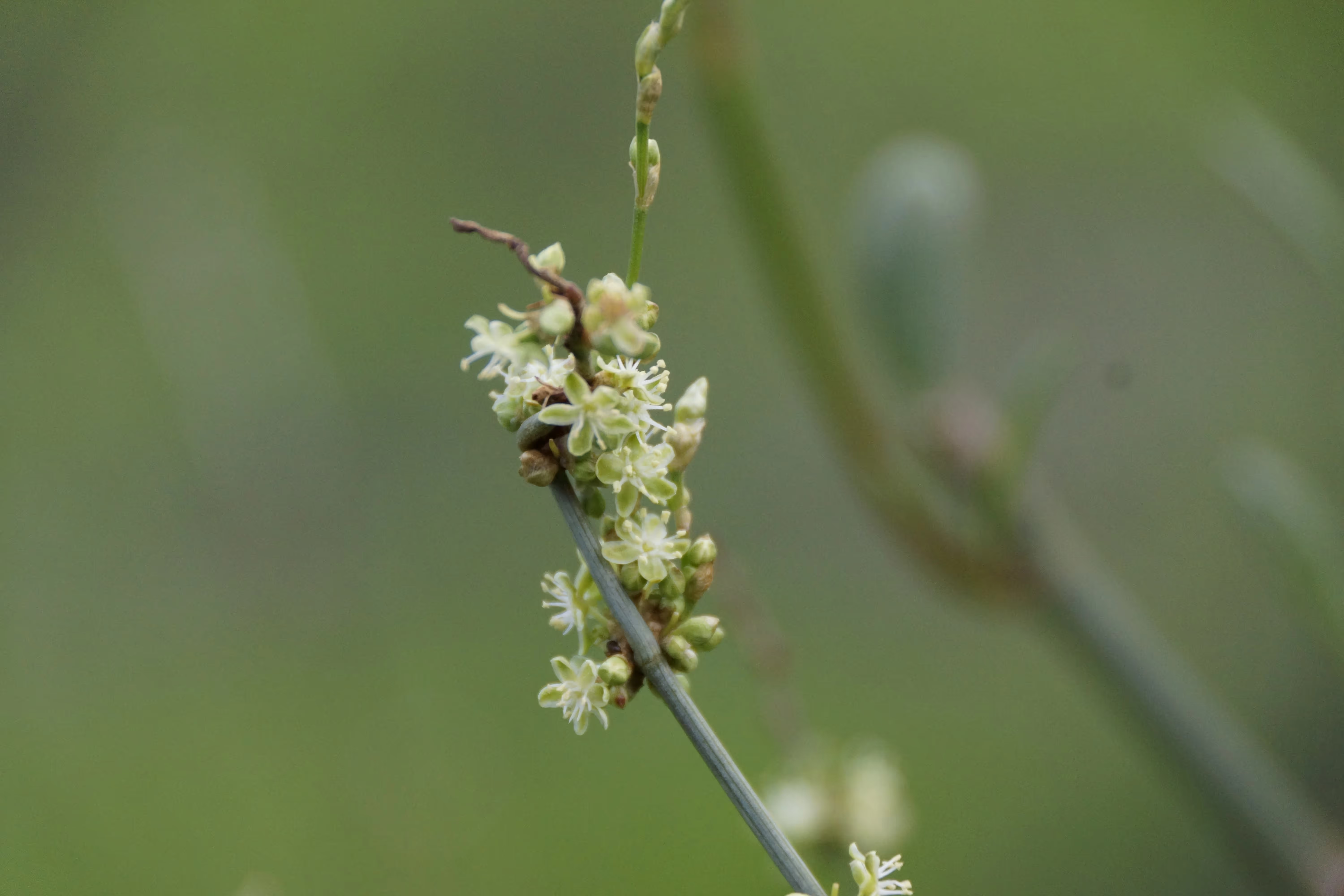
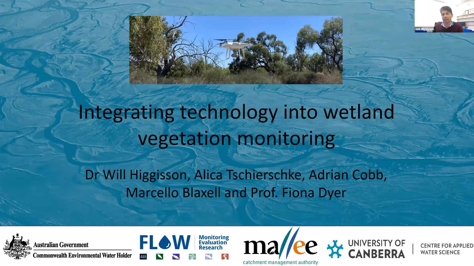
Lignum data processing: Sharing the load
Researchers and Flow MER teams are using drones and deep learning to monitor how lignum responds to water for the environment. With 91% accuracy across four river systems, this collaboration is helping build a clearer picture of how floodplain vegetation recovers and thrives.
.avif)
Drone Monitoring of Lignum at Gayini: What We’re Learning
In partnership with Nari Nari rangers, scientists are using drone technology to track how flooding patterns impact lignum on the Lowbidgee floodplain. This project blends traditional knowledge and cutting-edge imagery to support smarter water and habitat management.

Eight years in — perspectives on the outcomes of environmental watering in the Lower Goulburn River
Explore eight years of research on environmental watering in the Lower Goulburn River. Gain insights from experts and community members on how flow management supports native fish, vegetation, habitats, and overall river health in this vital Murray-Darling Basin ecosystem.

Why are we drawn to rivers, wetlands and floodplains? What role do plants play in making these places special? Tell us what you value (particularly about plants!)
Discover the unique ways people connect with rivers, wetlands, and floodplains, and how these values shape conservation efforts for non-woody vegetation.