News
To receive Flow-MER updates in your email inbox, please subscribe below.
Oops! Something went wrong. Please refresh the page and try again.
FEATURED
December 2, 2025
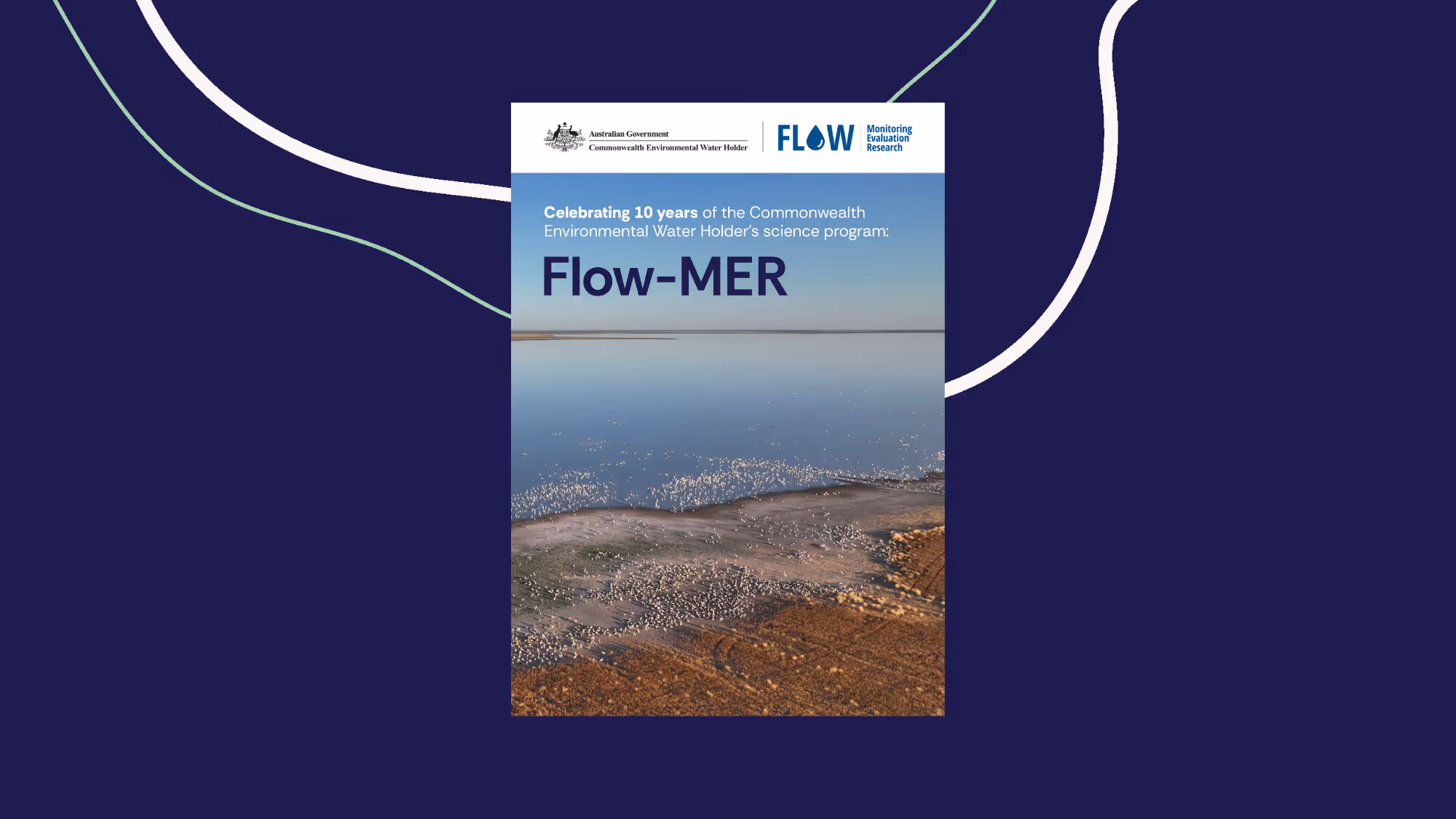
Celebrating 10 years of the Commonwealth Environmental Water Holder’s science program: Flow-MER (digital booklet)
This digital booklet captures that journey. It reflects the progress, partnerships, and knowledge built through Flow-MER – the Basin’s largest and longest-running environmental water science program.
View Story

.webp)

.avif)
%20(2)%20(1).webp)